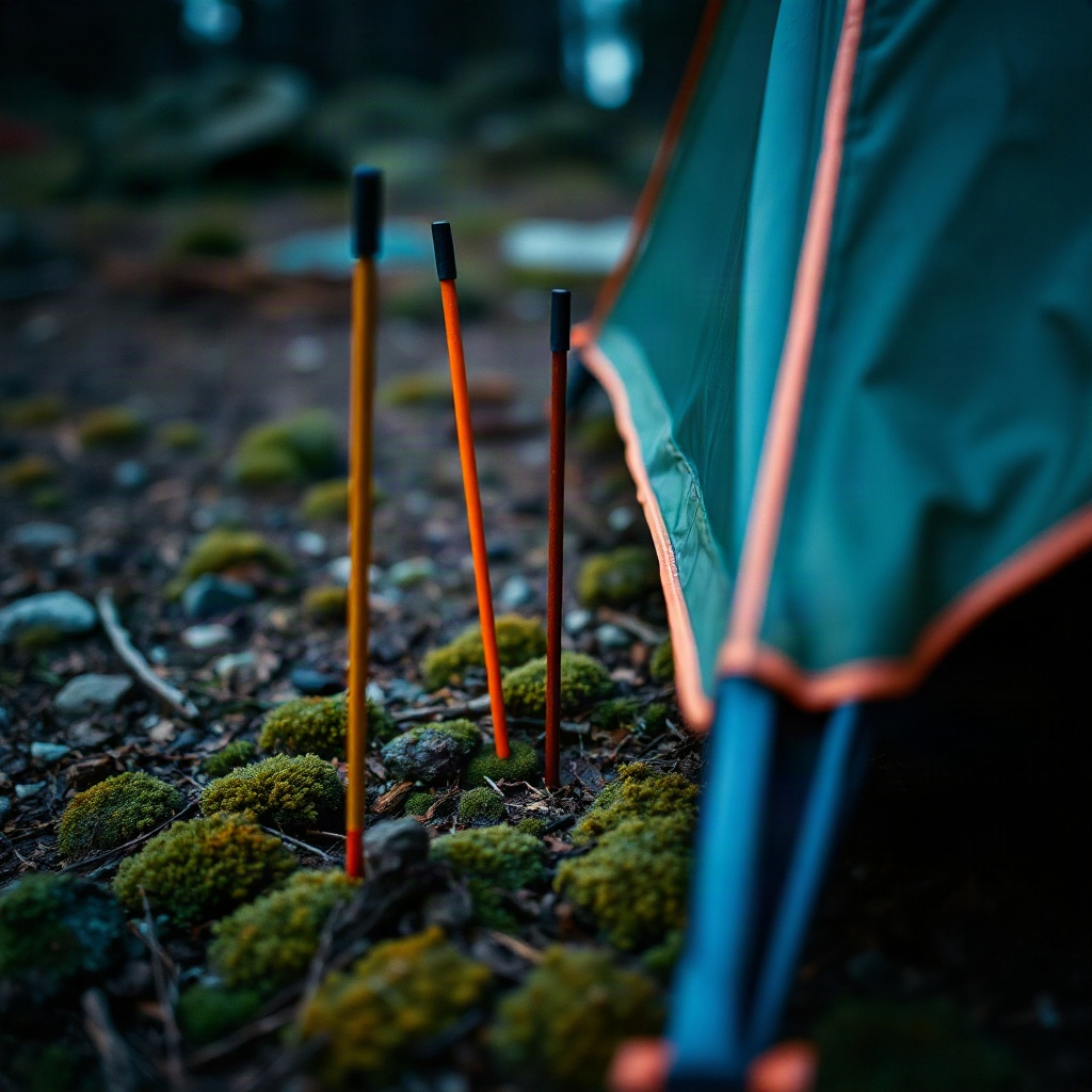
Photograph the pitch
Capture the exact clearing, not a campground map. The photo anchors every later note about slope, wind, and trees.
FIELD NOTEBOOK
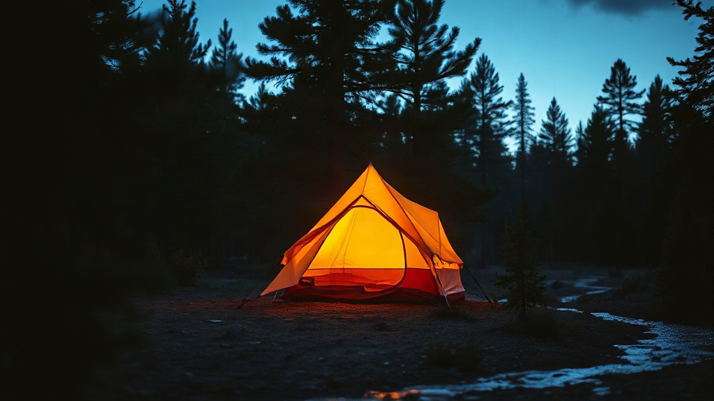
Photograph the clearing, log wind and slope, then turn the tent door before dark.
ON THE GROUND
Capture the exact clearing, not a campground map. The photo anchors every later note about slope, wind, and trees.
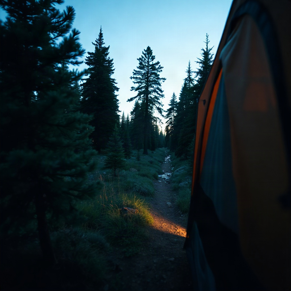
Mark incline and its heading, wind direction, soil, nearby water, tree cover, shelter, and how flat the footprint feels.
A top-down plan shows tent orientation, the wind arrow, the downhill line, trees, and water so the door faces the right way. Saved sites stay on a shelf with a pitch score. Playbooks cover frost hollows, night wind, stakes, the vestibule, and morning breakdown. Before dark, a checklist walks guylines, drainage, and food storage.
CLEARING LIGHT
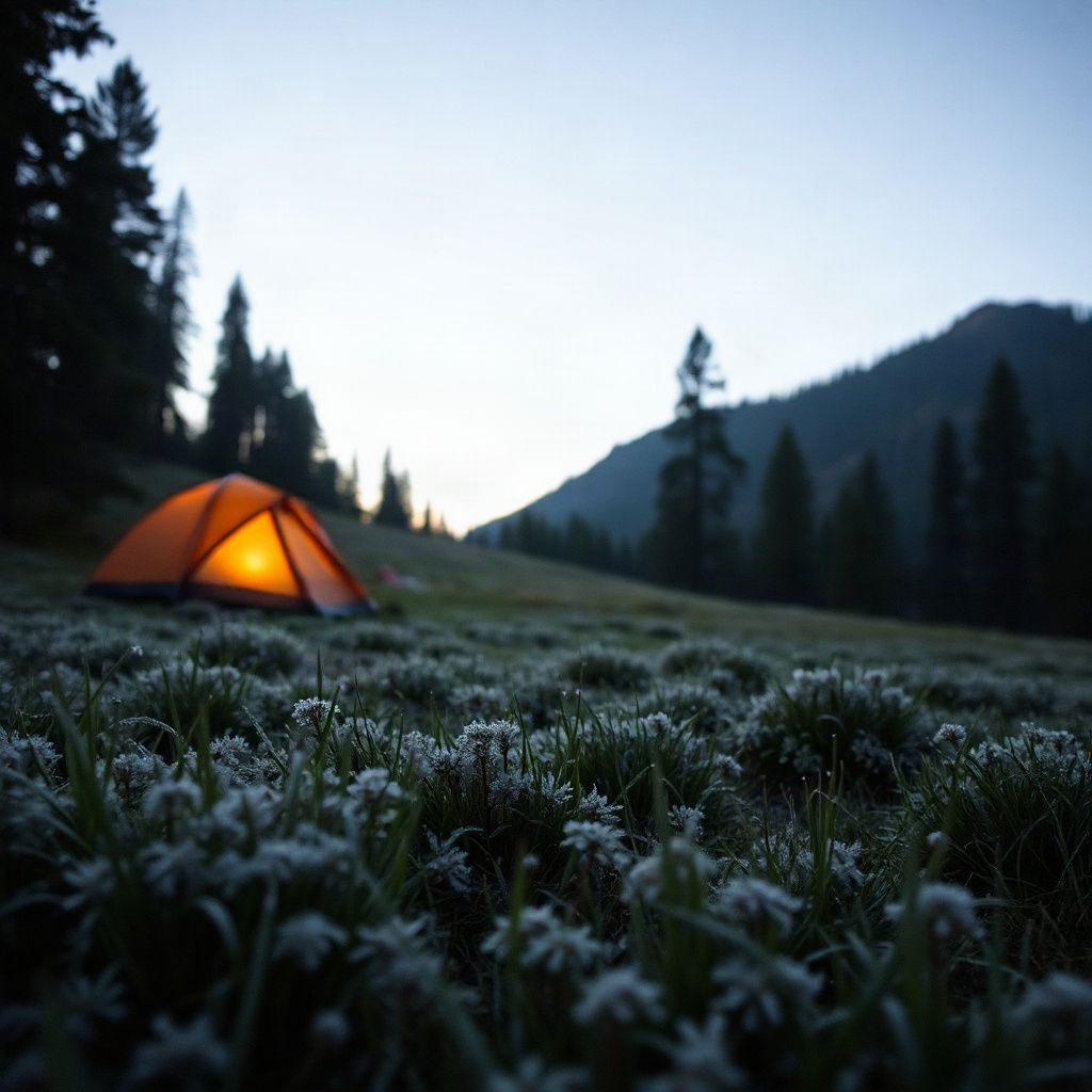
Field photographs of the same decisions TentPitch records: corner tension, a downhill line, and a frost hollow below the slope.
PAPER TRAIL
TentPitch keeps the campsite notes, photos, and checklist progress you create on this device. The notebook is not sent to a TentPitch server. Opening the privacy page inside the app loads this same page. Questions about the notebook go to the address in the next panel. Effective date: 14 October 2026.
Write if a pitch diagram, checklist, or guide page is unclear, or if you need help with the notebook on your phone. Mail about TentPitch itself — the clearing, the layout, and the notes you keep — goes to rostyslavstoianovskyi@rthrupkompanitov.org.
© 2026 Rthrupkompanitov